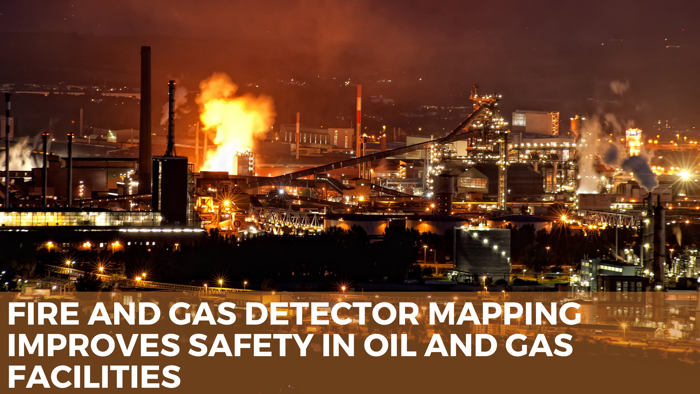


.png)
Fixed fire and gas detection software and systems typically ensure that risk mitigation systems such as blowdown, isolation, and active fire protection are working in the event of an unfortunate event. In addition, a well-designed system provides good detector redundancy to guard against false trips faults. Finally, fire and gas detector mapping studies provide objective analysis to support the design process and optimize detectors to meet coverage area.
Mapping or modelling?
Modeling gas detection following a leak is a difficult task since gas dispersion depends on a large number of variables such as hole size, process conditions, release position and direction, ventilation conditions, impingement, etc. Using computational fluid dynamics (CFD), probabilistic dispersion studies can assess the likelihood of cloud formation across a process area to identify favorable detector locations. However, such analysis is time-consuming and expensive, essentially meaning that only a few of the variables involved can be considered. However, a mapping study avoids this complexity by considering a reference cloud or fire of fixed dimensions. For example, a flammable cloud of 5m diameter at its lower explosive limit is often used in offshore environments based on the damaging of explosions from clouds of this size.
Integration with other assessments
While good detection coverage levels are claimed in safety cases, safety regulators do not usually demand a demonstration of adequate coverage. Mapping trends to be perceived as a stand-alone Procedure, separate from the traditional fire and explosion studies supporting the safety case. There are a few advantages to taking a more holistic approach. Studies like fire and explosion risk assessment (FERA) and gas dispersion assessment provide a comprehensive analysis of fire, explosive, explosion, and toxic gas events across a facility, identifying the existence of any hazardous materials, their location, consequences, durations, and potential for escalation. This can provide crucial information for mapping.
Conclusion
Fire and gas mapping is increasingly becoming more common for oil and gas facilities, supported by sophisticated software tools. Ideally, such studies should be undertaken with related assessments to provide valuable insights into safety claims. Hence, they contribute to a more thorough understanding of the installed hazard protection and improve safety through better risk-informed design.